St Nicks running – York

St Nick’s is a former landfill site transformed into a thriving nature reserve a mile from the city centre of York. It became a Local Nature Reserve in February 2004 in order to conserve and maintain a diverse range of habitats sustaining wildlife.

I’ve been to st nicks in the past, in fact I used to volunteer there, but i’ve never thought to go running there. The main advantage is that it’s not as flat as the rest of York. In fact my route looks a little crazy as I was trying to make maximum use of the steps and slopes as I don’t get much of an opputunity to run on them often – and with my half marathon coming up in October I really need to get in some hill training.


Anyway, I got a few photos during my run. I also got a bit confused at one point as I could hear bagpipes playing, upon further investigation I found a student who was using the area to practice as apparently people were getting annoyed by the noise from his flat. Personally I like the sound of bagpipes, so didn’t really bother me.

Grimston Trig Point

Grid reference : SE 64184 51164
Type : Pillar
Condition : Destroyed
County : North Yorkshire
Nearest town : YORK
I got the park and ride from grimston bar into town yesterday for a meeting, afterwards I  decided to walk back to the car – in part due to the walk 100 miles challenge I’ll admit 😛
untitled
anyway, once I was almost back at the car I realised that I was close to the site of the destroyed Grimston trig point. From my understanding this was destroyed when they created the mound around the science park and sports centre to hide it from the road. However, there are a lot of different stories flying about as to why it was destroyed, this just seems to be the most popular reason/theory, I can’t find a definite answer – will have to keep looking.
So anyway, here is the approx site of the trig pillar and the view towards York from it.

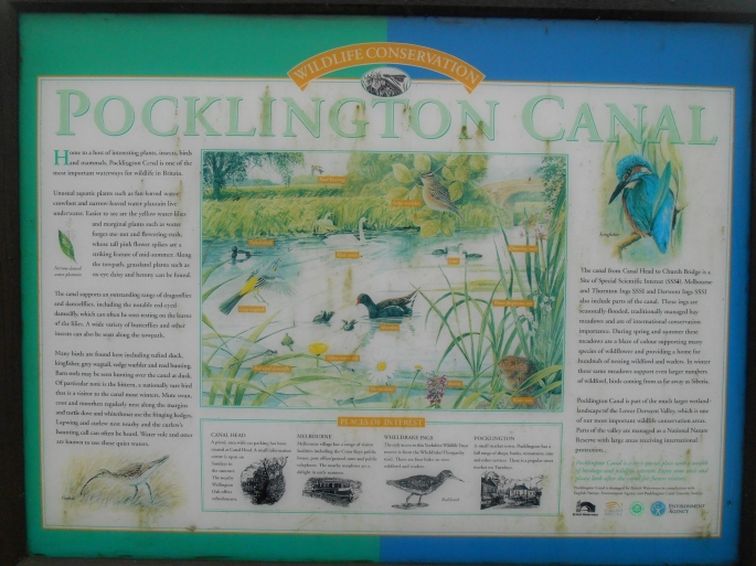
Pocklington Canal – Canal Head to Melbourne

I did this walk yesterday, parked in Pocklington and walked to the start at Canal Head. From there I walked to Melbourne and then retraced my steps (crossing the canal at swingbridge and going down to Bielby and then crossing back at Coats Bridge just to add some variety). Ended up being just under 10 miles in total, but obviously this can be altered, even halved if you find someone willing to collect you from Melbourne 😛 a basical map of the route can be seen here


I had planned to photograph every lock and and bridge on the route, but I forgot for a few so now I feel I have to do it again… I also need to do the East Cottingwith to Melbourne section but at the time of year that is so muddy that I’d rather wait for later in the year when the weather is better. I have done that end before though and it’s great, espeicaslly for bird spotting.

Anyway some pictures from yesterday:


Running totals:

Walking: 81.5/1000
Running: 38/1000


Burnby Wold

Grid reference :SE 86103 47046
Type :Pillar
Condition : Slightly damaged
Flush Bracket : S6371
County :Humberside
Nearest town :YORK
not a whole lot I can say about this one, literally at the side of the road in the hedgerow so very easy to find. I had planned to do a walk in the area but it started to rain heavily so I went to the gym instead after bagging the trig. The drive there was fun though, some very nice roads.

Newcoat Fields

Grid reference :SE 84226 50858
Type :Pillar
Current use : none
Historic use : 3rd order
T:UK waypoint : TP5108
County : Humberside
Nearest town : YORK
newcoat-fields
This was a very easy trig to find. You can in theory just park up next to the field and go through a single gate. I decided to park in Millington and walk from there though, so about a 4 mile round trip.
There were a lot of pheasents around and a bird of prey that I think may have been a Sparrowhawk – didn’t get a picture unfortunately as it took me a second to realise what it was and then it was gone.
Some great views from this trig point, all in all I would recommend a visit to in, in part just as it’s so easy to get to.