The Old Man of Coniston

Im really bad at this blogging thing…

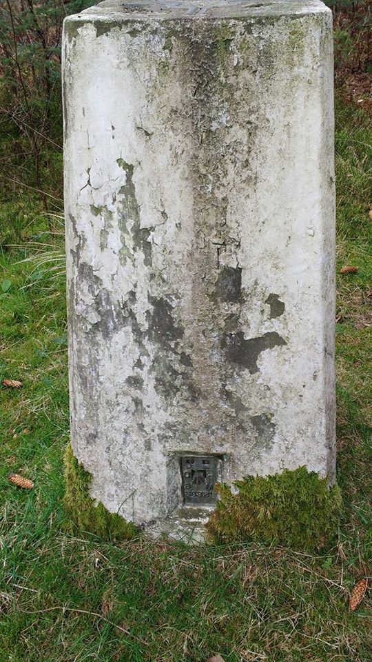
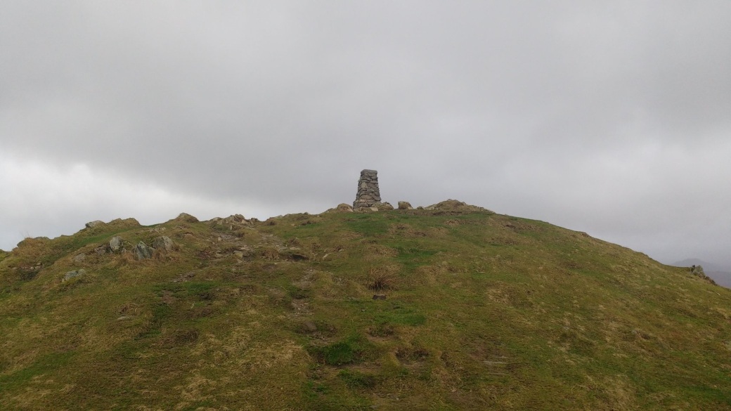
anyway, another trig point was bagged the other week when I spent the day exploring the coppermine valley and went up the Old Man of Coniston. I’ve been up before, but it was a ong time ago and also felt that the industrial history was something that my partner would enjoy.

Unfortunately, we picked an awful day weather wise. Was wet and windy and just horrible. Not as bad as the day we went up Loughrigg Fell but still not pleasant. Anyway, after walking up to levers water and hiding in an old mine for lunch (yes, naughty, don’t do it) we headed up onto the ridge where the wind was just ridiculous. We had a wonder about and went down to Goat Water, where I had planned to go for a swim but the weather wasn’t playing ball. So we headed to the summit and then down the more direct way back to the car park.

We’ll have to go again on a better day as we missed a lot in our rush back to the car and a lot on the way up due to the weather. But it was still a good day

Louven Howe Aux 2 Trig Point

T:UK waypoint :TP7931
County :North Yorkshire
Nearest town : WHITBY
This is my first Vanessa Pillar and has made me realise I should do a post of the types of pillars at some point, but not now.
Anyway, not much I can say about this one as it was a bit of a drive by bag on the way to the coast. So this is more for a record than as a proper post.

Trig Point, another Trig Point and a Castle

My plan yesterday was to park at Thornton-Le-Clay and walk to sheriff Hutton and then back in order to bag 2 trigs and also go past the castle ruins. Unfortunately I couldn’t find anywhere to park at Thornton-le-clay so I had to alter this plan. In the end I bagged the first trig (Sheepclose Farm) in a bit of a drive by type style and then parked at sheriff Hutton to get the second one (Mill Hill Farm) and also walk round the Castle.

seriff hutton


The walk I used to get to Mill Hill Farm Trig is the Foss Walk, unfortunately there were a lot of issues with broken stiles and such. I’m finding that lot recently, a lot of stiles are not being maintained well, I need to do some looking into this issue as it’s getting annoying. I also didn’t get right up to MIll Hill Farm trig as it was in a field off the path which had many lambs in it. Also as a lot fo the gates on the actual path had locks on them I feel going off the path wouldn’t have been wise.


Wykeham Forest + Coombe Hill Trig Point

I have been so useless at updating this… apologies for that, essentially I can only do the blog from my computer whereas twitter, etc, I can do from my phone. As such I keep not getting round to putting the computer on and doing anything, not a great excuse really…


but anyway, last week 2/04/2017 I bagged another trig point.

coomb hill


Name: Coomb Hill

GridRef: SE 94358 88966

Flush Bracket: S6321


I had never heard of Wykeham Forest before this, despite going MTBing in Dalby Forest fairly often which it basically right next door. We didn’t exactly have a route planned, we just went to the trig point, then to a great viewpoint nearby called “raptor viewpoint” the name of which I feel it self explanatory 😛 but essentially it’s a viewpoint overlooking Troutsdale that is meant to be amazing for birdwatching. We didn’t stay there long and didn’t see much, but there were some people there with some serious equipment so I assume it probably lives up to its reputation.

We then had an 8 mile wander around the forest, I think we’ll probably go again, but with a better planned route in mind next time.


That’s one of the great things about trig point bagging, I am discovering all sorts of places that I don’t think I would have visited otherwise. I mean some of the places aren’t great, a lot of roadside trigs or urban trigs which just do not appeal to myself, but I can usually find a walk in the area to make up for that. There are a few trigs though that are in amazing places, placers I never knew existed before this venture.


Skirlington Trigpoint

Started in Hornsea yesterday and walked along the beach until below the trig point before scaling the clif. Returned to Hornsea via the path at the cliff top, having to go through a few caravan sites as the path on the map seemed to no longer exist in places.


Grimston Trig Point

Grid reference : SE 64184 51164
Type : Pillar
Condition : Destroyed
County : North Yorkshire
Nearest town : YORK
I got the park and ride from grimston bar into town yesterday for a meeting, afterwards I  decided to walk back to the car – in part due to the walk 100 miles challenge I’ll admit 😛
untitled
anyway, once I was almost back at the car I realised that I was close to the site of the destroyed Grimston trig point. From my understanding this was destroyed when they created the mound around the science park and sports centre to hide it from the road. However, there are a lot of different stories flying about as to why it was destroyed, this just seems to be the most popular reason/theory, I can’t find a definite answer – will have to keep looking.
So anyway, here is the approx site of the trig pillar and the view towards York from it.

Harton Trig Point & Walk

Grid reference : SE 69972 62111
Type :  Pillar
Condition :
Flush Bracket : S2599
County : North Yorkshire
Nearest town : MALTON
yesterday i decided to combine my walk 100 miles challenge with some trig point bagging, about time right? So I parked outside the village and walked in to Harton past the water tower upto the trig point. Unfortunately the pillar was in a field closed off with a gate and with a lot of mud, so I took a picture from a distance from the next field. THen I continued down the the A64 before heading back to the car.
untitled


I took a few photos on my way round, obviously no GPS this time as wasn’t at the actual trig


2000 mile challenge running totals:

Walking: 103.5 miles

Running: 62 miles


Sponcer me – https://t.co/xYFlj2UK41


Loughrigg Fell – Cumbria

This was a bit of an accidental trig point.. also it was about 2 weeks ago now but I have been neglecting my blogging recently.


The plan on this day had been to go to Loughrigg Tarn and then walk over the fells to Rydal Caves and then back round, getting the trig on the way. However, my partner was feeling ill so we decided to go straight to the caves.

After exploring the caves and that area we started to climb the fell, not to go to the trig but just because it was there. We accidentally (in a let’s just get to that next crest, or maybe that one? Or that one? type way) ended up within half a mile of the trig point so thought might as well head that way. As we approached it the wind started to get up and it started to rain. We found a semi sheltered spot to stop for some lunch in the hope that the weather might improve but it didn’t. By the time we started to walk again it was raining heavily and the wind was getting very strong.

Just before getting to the trig point the hail started, as such it was a bit of a “run by” bagging. I’d have been willing to stop and do it properly but by this point my partner just wanted off the fells.

We found a more direct route down at least, and managed to not get blown off the slopes 😛


loughrigg

Hotham Hill

Grid reference : SE 88276 35404
Type : Pillar
County : Humberside
Nearest town : GOOLE


I parked for this one in the village of Hotham near Market Weighton, I almost drove down the bridleway, as someone online had led me to believe that you can, until I saw the sign was blue not red so I parked near the church and went from there. From the map I predicted it to be able 3 miles there and back so decided to use it as a training run, I regretted this due to the level of mud on the bridalway but continued regardless.

About 1.2 ish miles in I got to the bench that can be seen in one of these photos. From here it took me a few seconds to locate the trig point over the other side of the field. I was a little concerned as I had seen a few tractors in a few of the fields, but decided if I was quick and stayed to the field edge to avoid damaging any crops and walked this section I should be ok. Took a while to get round the field as the soil was very soft in places, and a section was flooded, but after a bit of negotiation I got to the trig point.

From here I retraced my route back to my car. I could have continued on the bridleway and come out back on the road outside of the village, but I was a bit concerned about the time. I think in reality you probably could drive to the field with the trig point in, there were tracks from vehicles all the way there, however, I think this may be from farmers and so I wouldn’t recommend it, and it’s not a long walk anyway, and ignoring the mud the path is fairly well maintained, so driving to the field shouldn’t be needed.


total route: 3.04 miles